Engeland
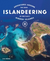 Reisgids Islandeering: Adventures Around Britain's Hidden Islands | Wild Things Publishing
Walk, scramble, cycle, wade or even swim around the outer edge of our wildest islands. Islandeering provides all the information you need to circumnavigate 50 amazing hidden islands off the …
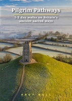 Wandelgids Pilgrim Pathways | Trailblazer Guides
Many people are inspired by the idea of going on a pilgrimage. TV series such as The Road to Rome and The Road to Santiago have shown that even the …
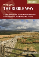 Wandelgids The Ribble Way | Cicerone
The 72 mile (116km) Ribble Way is described in seven stages, ranging from 8.25 to 17 miles (13.3 to 27.4km). The route follows the Ribble valley, from the estuary mouth …
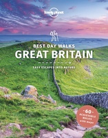 Wandelgids Best Day Walks Great Britain - Groot Brtittanië | Lonely Planet
Lonely Planet heeft een nieuwe serie uitgebracht: Best Day Walks in verschillende landen. Het zijn de - door Lonely Planet uitgekozen - mooiste wandelingen verspreid over het land. Goed beschreven, …
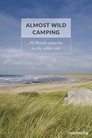 Campinggids Almost Wild Camping | Punk Publishing
At a time when interest in the outdoors is at an all time high, this year sees the launch of a brand new guidebook: Almost Wild Camping, from the experts …
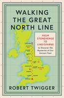 Reisverhaal Walking the Great North Line | Robert Twigger
Robert Twigger, poet and travel author, was in search of a new way up England when he stumbled across the Great North Line. From Christchurch on the South Coast to …
 Wandelgids Heart of the Cotswolds | Rucksack Readers
“Waterproof paper, clear mapping, excellent photography and a knowledgeable text ”- Outdoor Focus The Cotswolds is the quintessential heart of England, with its rich cultural history, medieval ‘wool’ churches …
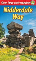 Wandelgids Nidderdale Way | Rucksack Readers
The Yorkshire Dales are famously beautiful valleys in northern England, but Nidderdale is perhaps the least known of them. Unique among the dales, this scenic valley has three large reservoirs …
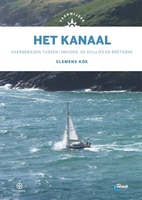 Vaarwijzer Het Kanaal | Hollandia
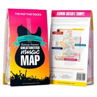 Wegenkaart - landkaart Great British Music Map | Strumpshaw, Tincleton & Giggleswick's Marvellous Maps
When it comes to music, Britain calls the tune on the world stage, playing second fiddle to nobody. This new and unique fold-out map celebrates Britain’s globe-straddling musical prowess, featuring …
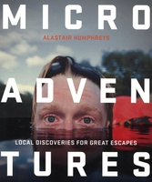 Reisgids Microadventures | Collins
Deze praktische gids staat vol met ideeën voor microadventures - om zelf of met vrienden en familie te beleven - en meer dan 150 verbluffende foto's, plus tips en advies …
 Campergids - Reisgids Take the Slow Road: England - Engeland and Wales | Bloomsbury
The ultimate guide to the very best scenic and fun routes for camper vans and motorhomes around the valleys, mountains and coastlines of wonderful England and Wales. In this book …
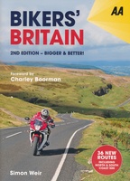 Reisgids Motorgids Bikers' Britain | AA Publishing
UItgebreide gids, met handige ringband, voor motortochten door Engeland, Wales en Schotland. 2nd edition of Bikers' Britain with updated content and 82 routes, 36 of them are brand new for …
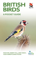 Vogelgids British Birds | Princeton University
A carefully designed and lavishly illustrated photographic guide This innovative and carefully designed photographic guide provides a concise introduction to the identification of the 246 birds most likely to be …
 Reisgids I love the seaside Great Britain - Ireland, Groot Brittannie en Ierland | Mo'Media | Momedia
The I Love the Seaside Surf & Travel Guide to Great Britain & Ireland is a 464-page printed book (English language) exploring the (surf) coast of Britain and Ireland. From …
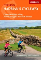 Fietsgids Hadrian's Cycleway | Cicerone
Hadrian's Cycleway is a 174 mile route from Ravenglass in Cumbria to South Shields. Also known as Route 72, this coast-to-coast route heads north up the Cumbrian coast to reach …
★★★★★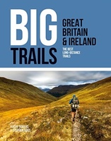 Wandelgids Great Britain & Ireland | Vertebrate Publishing
Big Trails: Great Britain & Ireland is an inspirational guide to the most iconic, spectacular and popular long-distance trails in England, Scotland, Wales, Northern Ireland, Ireland and the Isle of …
 Spoorwegenkaart England North and Central Rail and Road | ITMB
This is a new title for ITMB, and continues our expanded coverage of the United Kingdom. Many publishers carry a map of Great Britain (or of the UK), and a …
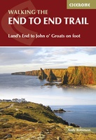 Wandelgids Walking The End to End Trail | Cicerone
Een droomroute voor velen: helemaal van het zuidelijkste puntje van Engeland naar het noordelijkste puntje van Schotland, zo'n slordige 1956 km door fabelachtig mooie afwisselende landschappen. Zeer gedetailleerd beschreven met …
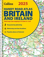 Wegenatlas 2025 Collins Handy Road Atlas Britain and Ireland | Collins
Handzame A5 wegenatlas van Engeland, Wales, Schotland en Ierland met register en stadsplattegronden This easy-to-use, handy A5 sized road atlas with popular lie-flat spiral binding features extremely clear route planning …
★★★★★
Laatste reviews

Heb de gids cadeau gedaan en die persoon was er heel blij mee ..
★★★★★ door J 21 november 2024 | Heeft dit artikel gekocht
De kaart van Kirgystan is prachtig, zeer gedetailleerd. Kan niet wachten tot de we echt op reis hmgaan die kant op.
★★★★★ door Marijke Eering 21 november 2024 | Heeft dit artikel gekocht
Super handig fiets boekje en mooi water bestendig. En handig om op de kaarten te kijken heel duidelijk beschrijving. Wij fietsen al jaren in Duitsland …
★★★★★ door Jenneke holterman 19 november 2024 | Heeft dit artikel gekocht
prima kaart levering en betaling allemaal vlot verlopen
★★★★★ door Marc Buts 19 november 2024 | Heeft dit artikel gekocht

