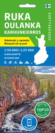
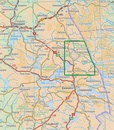
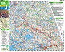
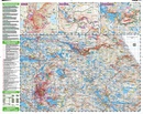
Wandelkaart Ruka Oulanka Karhunkierros | Karttakeskus (9789522666741)
Het berenpad - Bear's Trail
- ISBN / CODE: 9789522666741
- Editie: 25-03-2021
- Druk: 2
- Aantal blz.: 1
- Schaal: 1:50000
- Uitgever: Karttakeskus
- Soort: Wandelkaart
- Serie: Outdoor map
- Taal: Engels
- Hoogte: 22.0 cm
- Breedte: 10.0 cm
- Gewicht: 42.0 g
- Uitvoering: Scheur- en watervast
- Bindwijze: -
- Beoordeling: 5,0 ★★★★★ (2 reviews) Schrijf een review
-
€ 22,95
Op voorraad. Voor 17.00 uur op werkdagen besteld, morgen in huis in Nederland Levertijd Belgie
Gratis verzending in Nederland vanaf €35,-
-
Outdoor kaarten Finland | Karttakeskus

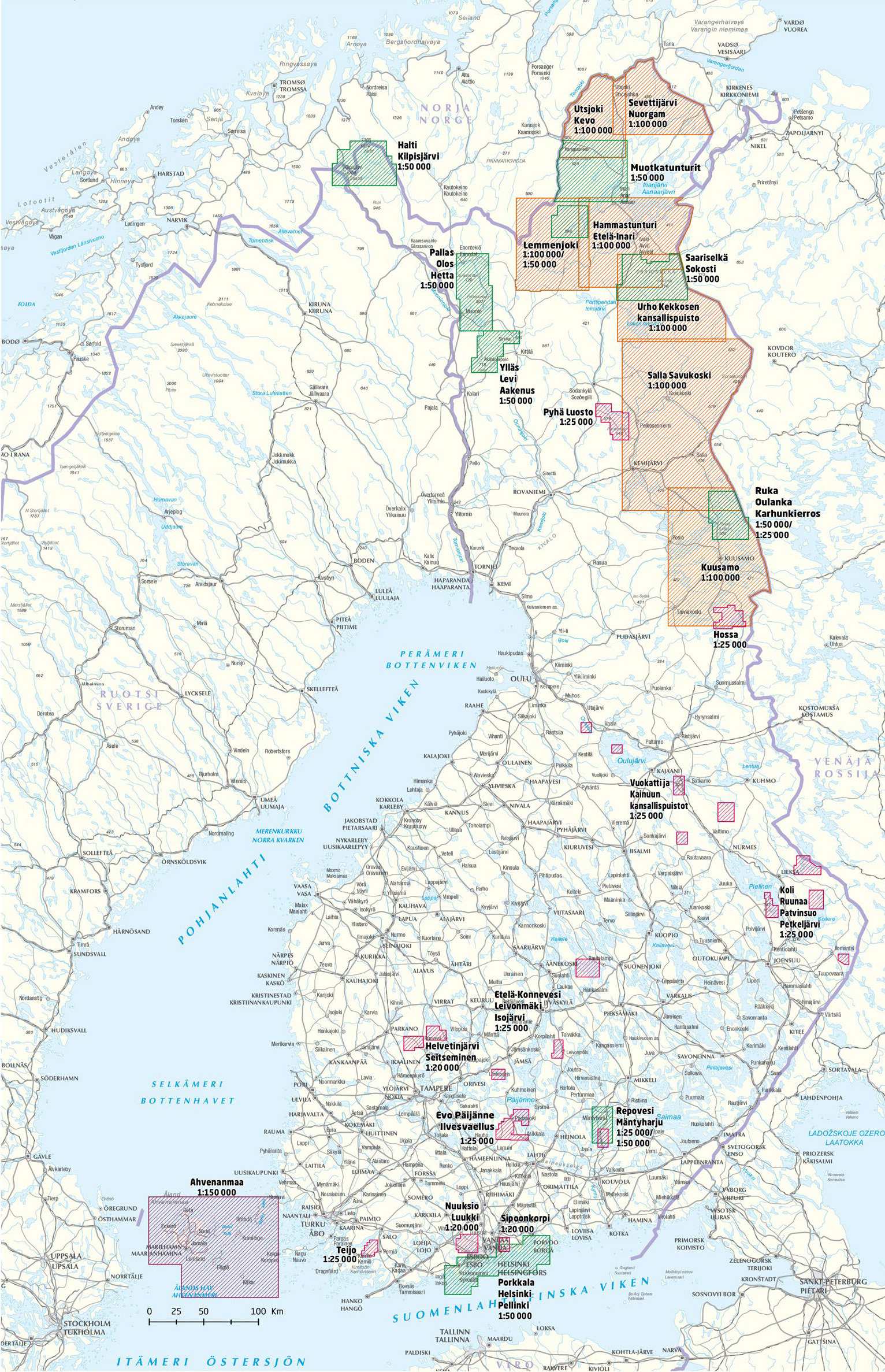
Producten op deze overzichtskaart:
Klik op een product om naar de pagina van dat product te gaan.
- Wandelkaart Etela-Konnevesi Leivonmaki | Karttakeskus
- Wandelkaart Halti Kilpisjärvi | Karttakeskus
- Wandelkaart Hammastunturi Ivalojoki Juutua | Karttakeskus
- Wandelkaart Helvetinjärvi Seitseminen | Karttakeskus
- Wandelkaart Hossa | Karttakeskus
- Wandelkaart Kuusamo | Karttakeskus
- Wandelkaart Lemmenjoki | Karttakeskus
- Wandelkaart Nuuksio Luukki | Karttakeskus
- Wandelkaart Pyha Luosto | Karttakeskus
- Wandelkaart Repovesi Mäntyharju | Karttakeskus
- Wandelkaart Ruka Oulanka Karhunkierros | Karttakeskus
- Wegenkaart - landkaart Sevettijärvi Nuorgam | Karttakeskus
- Wandelkaart Teijo | Karttakeskus
- Wandelkaart Teijo Kurjenrahka | Karttakeskus
- Wandelkaart Vuokatti ja Kainuun kansallispuistot | Karttakeskus
- Wandelkaart Ylläs Levi Aakenus | Karttakeskus
Overzichtskaarten
Beschrijving
Prachtige wandelkaart van dit mooie, wilde natuurgebied in Noordoost Finland.
Reviews
Zocht wandelkaart van een (bekend) wandelgebied in Finland. Hadden precies wat ik zocht en snel bezorgd.
★★★★★ door Hans de Haas 23 augustus 2024 | Heeft dit artikel gekochtVond u dit een nuttige review? (login om te beoordelen)
Prima kaart. Heel handig voor wie de Karhunkierros gaat wandelen (of in die omgeving). Pluspunt: alle kampeerplaatsen en overnachtingen staan erop. Minpunt: Op een klein stukje was de kaart wat lastig te lezen/interpreteren.
★★★★★ door Alexander 12 augustus 2019Vond u dit een nuttige review? (login om te beoordelen)
Schrijf een review
Graag horen wij wat u van dit artikel vindt. Vindt u het goed, leuk, mooi, slecht, lelijk, onbruikbaar of erg handig: schrijf gerust alles op! Het is niet alleen leuk om te doen maar u informeert andere klanten er ook nog mee!

