Winkelwagen
Geen items in winkelwagen
Ga naar winkelwagen
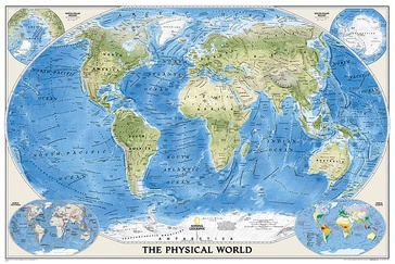
Wereldkaart 22010 natuurkundig, oceaanbodem, 116 x 77 cm | National Geographic (9780792280880)
papieren versie
- ISBN / CODE: 9780792280880
- Editie: 13-02-2019
- Aantal blz.: 1
- Schaal: 1:35842000
- Uitgever: National Geographic
- Soort: Wereldkaart
- Taal: Engels
- Hoogte: 77.0 cm
- Breedte: 116.0 cm
- Gewicht: 103.0 g
- Cartografie: natuurkundig
- Schrijf als eerste een review
-
€ 24,95
Leverbaar in 3 - 5 werkdagen in huis in Belgie Levertijd Nederland
Beschrijving
Bijzonder fraaie natuurkundige kaart van National Geographic waarbij het accent ligt op de fysische aspecten van de aarde met veel details van de oceanen. Een schoonheid aan de muur!
Our World Physical - Ocean Floor map highlights the Earth's land and undersea forms with exquisite hand-painted relief. Drawn in the Winkel Tripel projection to minimize distortion of the landforms. Two corner inset maps show the Earth's crust and world climatic zones
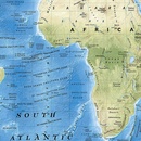
.Superb representation of the ocean floor makes this physical map of the world one of the most interesting titles in the National Geographic Society’s long list of wall maps. Drawn with great skill to achieve a 3-D effect, ocean floor plains, basins, continental shelves, trenches, ridges and fractures are shown with their names, indicating in many places their depth in metres.
On land masses relief shading shows the mountain chains, whilst the colouring indicates different types of terrain: arid regions, vegetation, tundra, etc. The map has names of mountain ranges, plateaux, deserts, plains, etc., but no country names or boundaries, with only selected major cities marked.
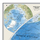
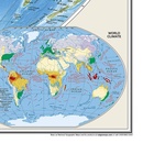
The two Polar Regions are presented as insets in the top corners, while at the bottom two colourful maps of the world show the tectonic plates with the earth crust coloured according to its age, plus the world’s climatic zones. Projection is Winkel Tripel, which reduces distortion of land masses as they near the poles
Dit product heeft meerdere varianten:

