Wandelgidsen - Europa
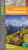 Wandelkaart - Wandelgids Parc Naturel del Cadi - Moixero | Editorial Alpina
Kaartenset van 2 wandelkaarten Zeer gedetailleerde wandelkaart van een klein gebied. Met ingetekende wandelroutes en andere informatie. Spaanstalig, maar uitstekende kaart. Coordinaten zijn weergegeven, dus GPS compatible met UTM …
 Wandelgids Martinusroute | Grote Routepaden
Uitstekende wandeligds van de Martinus route in België : De Martinusroute loopt van het Nederlandse Utrecht of Groningen naar het Franse Tours. Deze wandelgids neemt je mee op een 450 km …
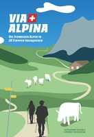 Wandelgids Via Alpina | Helvetiq
Die Via Alpina verbindet Montreux mit Vaduz, und das auf den schönsten Wegen.Sie können mit diesem Buch diese wunderbaren symbolträchtigen Landschaften wiederentdecken. Wir zeigen Ihnen verschneite Bergkämme und Gipfel, spektakuläre …
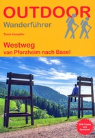 Wandelgids Westweg - Zwarte Woud | Conrad Stein Verlag
Duitstalige wandelgids met beschrijvingen van de meerdaagse wandeltocht door dit prachtige gebied. Der Westweg gehört zu den ältesten Fernwanderwegen Deutschlands und ist auch heute noch einer der beliebtesten in Europa. …
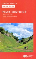 Wandelgids Peak District | Ordnance Survey
Each walk features a simple-to-follow route profile and accompanying description and pictures, and new-look walk mapping that makes it easier for the user to focus on the route and the …
 Wandelgids London's Hidden Rivers | Frances Lincoln
London has many rivers, but they are often hidden under centuries of development. Rivers like the Walbrook, the Fleet or the Westbourne have left their mark on the city, and …
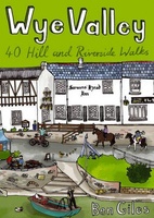 Wandelgids Wye Valley | Pocket Mountains
This guide contains forty circular routes, covering an area somewhat broader than the AONB but within similar north-south boundaries. This collection of walks is split into five areas: Hereford Lowlands …
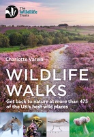 Wandelgids Wildlife Walks | Bloomsbury
The definitive guide to Britain's stunning wildlife heritage, showcasing more than 475 walks through the Wildlife Trust's forest, heaths, moors and woods. Published in conjunction with the Wildlife Trusts, …
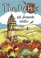 Wandelgids The Ochils | Pocket Mountains
Handige compacte wandelgids met 40 dagwandelingen. Deze gids bevat kleine kaartjes en leuke uitgebreide informatie over wat er langs de route te zien is. Goede wandelkaarten zijn echter we noodzakelijk …
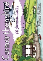 Wandelgids Carmarthenshire | Pocket Mountains
Handige compacte wandelgids met 40 dagwandelingen. Deze gids bevat kleine kaartjes en leuke uitgebreide informatie over wat er langs de route te zien is. Goede wandelkaarten zijn echter we noodzakelijk …
 Wandelgids Cambridgeshire | Pocket Mountains
Handige compacte wandelgids met 40 dagwandelingen. Deze gids bevat kleine kaartjes en leuke uitgebreide informatie over wat er langs de route te zien is. Goede wandelkaarten zijn echter we noodzakelijk …
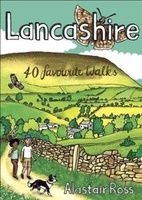 Wandelgids Lancashire | Pocket Mountains
Handige compacte wandelgids met 40 dagwandelingen. Deze gids bevat kleine kaartjes en leuke uitgebreide informatie over wat er langs de route te zien is. Goede wandelkaarten zijn echter we noodzakelijk …
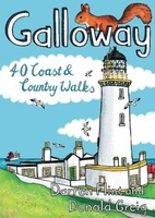 Wandelgids Galloway | Pocket Mountains
Handige compacte wandelgids met 40 dagwandelingen. Deze gids bevat kleine kaartjes en leuke uitgebreide informatie over wat er langs de route te zien is. Goede wandelkaarten zijn echter we noodzakelijk …
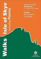 Wandelgids Walks Isle of Skye | Hallewell Publications
A guide to walks on the Isle of Skye and the small neighbouring island of Raasay. This guide includes hill climbs and coastal paths on the islands. Walks range from …
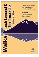 Wandelgids Walks Loch Lomond & The Trossachs | Hallewell Publications
The area covered by this guide (much of it now a National Park) is one of the most popular walking districts in Scotland, and its hills, lochs, glens and woodlands …
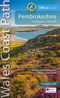 Wandelgids Wales Coast Path: Pembrokeshire | Northern Eye Books
Official Guide: Wales Coast Path: Pembrokeshire One of seven Official Guides to the Wales Coast Path The 186 mile/300km long Pembrokeshire section of the Wales Coast Path runs …
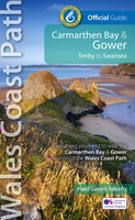 Wandelgids Wales Coast Path Carmarthen Bay & Gower | Northern Eye Books
Official Guide: Wales Coast Path: Carmarthen Bay & Gower One of seven Official Guides to the Wales Coast Path The Carmarthen Bay and Gower section of the Wales …
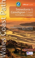 Wandelgids Wales Coast Path: Snowdonia and Ceredigion | Northern Eye Books
Official Guide: Wales Coast Path: Snowdonia & Ceredigion Coast One of seven Official Guides to the Wales Coast Path This Official Guide to the Snowdonia & Ceredigion Coast section of …
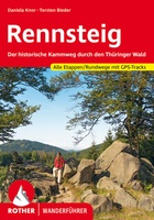 Wandelgids Rennsteig | Rother Bergverlag
Een geode beschrijving van de Rennsteig met alle etappes in tekst en op kaart. Rother heeft een hele goede naam als het gaat om nauwkeurigheid en mate van informatie. detaillierte …
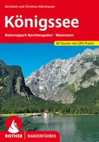 Wandelgids Königssee | Rother Bergverlag
Uitstekende wandelgids met een groot aantal dagtochten in dal en hooggebergte. Met praktische informatie en beperkt kaartmateriaal! Wandelingen in verschillende zwaarte weergegeven in rood/blauw/zwart. detaillierte Wanderkarten aussagekräftige Höhenprofile GPS-Tracks zum …
Laatste reviews

Ja, zeer tevreden ! Ook de snelle verzending ! Blijf een trouwe klant van jullie.
★★★★★ door Jan de Jong 28 november 2024 | Heeft dit artikel gekocht
Voldoet geheel aan mijn verwachting
★★★★★ door ap van toor 28 november 2024 | Heeft dit artikel gekocht
Prima koop
★★★★★ door Paul van Schelt 26 november 2024 | Heeft dit artikel gekocht
Het product wat ik van u heb ontvangen is prima !! maar voldoet niet geheel aan mijn verwachtingen want ik had een iets overzichtelijkere plattegrond …
★★★★★ door W. Breeschoten 26 november 2024 | Heeft dit artikel gekocht

