Kaarten - Engeland
 Wegenkaart - landkaart Südengland & Wales – Zuid-Engeland & Wales | Reise Know-How Verlag
Tweetalige kaart (Engels en Duits). Door ingetekende lengte- en breedtegraden is het gebruik van GPS mogelijk. Met hoogtelijnen en uitgebreid wegennetwerk: daarnaast worden ook de afstanden tussen belangrijke plaatsen duidelijk …
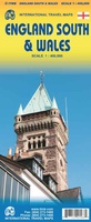
★★★★★ Wegenkaart - landkaart England & Wales - Engeland | ITMB
Een degelijke kaart met aanduidingen van o.a. nationale parken, vliegveld, benzinepompen. ITMB publishes a map of Great Britain, but each portion of GB needs its own map to show roads …
 Wegenatlas Big Atlas Britain & Ireland 2024 A3-Formaat | Philip's Maps
Goede gedetailleerde wegenatlas van Groot-Brittannië, schaal 1:200.000 met een overzichtskaart van Ierland, schaal 1:1.000.000. Groot formaat, A3, en in ringband. 'Good balance between detail and clarity with excellent town maps' …
★★★★★ Wegenkaart - landkaart Engeland - Wales | Freytag & Berndt
Gedetailleerde, tweezijdige landkaart van Engeland en Wales op schaal 1:400.000, prima geschikt voor planning en rondtrekken. De berijdbare wegen zijn goed weergeven, zowel de hoofdwegen als provinciale en lokale wegen; …
★★★★★ Wegenkaart - landkaart Groot - Brittannië | Borch
Mooie geplasticieerde kaart van Groot - Brittanië. Deze kaart biedt een goed overzicht van het land met detailkaarten. Our soft-laminated folded map of Great Britain shows: Scotland and Northern …
 Wegenkaart - landkaart Wales & south of England - Zuid Engeland | ITMB
Een degelijke kaart met aanduidingen van o.a. nationale parken, vliegveld, benzinepompen. We are gradually increasing the scales for our data of Great Britain and this is our latest effort. Most …
★★★★★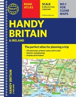 Wegenatlas Handy Road Atlas Britain A5-Formaat | Philip's Maps
"The perfect atlas for planning a trip anywhere in the UK and Ireland"The essential handy road atlas for planning a trip in Britain and Ireland. Keep it in the glove …
 Wegenkaart - landkaart Routemap The Longest Road Out | Longestroadout
Deze kaart hoort bij het boek The Longest Road Out
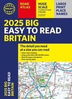
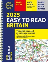
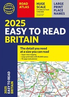 Wegenatlas Easy to Read Road Atlas Britain 2025 | Philip's Maps
"The detail you need at a size you can read". The latest 2025 Philip's Easy to Read Road Atlas of Britain from the best-selling Road Atlas range has over 350 …
★★★★★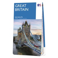 Wegenkaart - landkaart Great Britain OS route | Ordnance Survey
Tweezijdige overzichtskaart van heel Engeland en Schotland. Goed duildelijk leesbaar kaartbeeld met de doorgaande en grotere wegen. Ook Nationsle Parken staan er goed op. Ordnance Survey's double-sided OS Route Map …
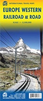 Spoorwegenkaart Europe Western Railroad & Road | ITMB
Spoorwegen kaart van West Europa in kleur. Schaal 1:2,500,000. Toont spoorlijnen, snelwegen, secundaire wegen en andere wegen, veerboten en belangrijke scheepvaartdiensten; internationale grenzen, de grenzen van de gebieden met reisbeperkingen; …
★★★★★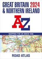 Wegenatlas Great Britain and Northern Ireland Road Atlas 2024 | A-Z Map Company
A full-colour, paperback road atlas of Great Britain, now fully revised and updated. Clear detailed road mapping at a scale of 3.5 miles to 1 inch. Presented in a large, …
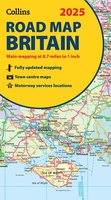 Wegenkaart - landkaart Road Map of Britain 2025 | Collins
Full-colour, double-sided road map of Great Britain at a scale of 8.7 miles to 1 inch. Northern England, Scotland and the Isle of Man are on one side with Southern …
 Wegenatlas Philip's Easy to Read Road Atlas of Britain 2025 | A3-Formaat | Paperback | Philip's Maps
With the detail you need at a size you can read, the latest edition of 2025 Philip's Big Easy to Read Road Atlas of Britain is super-clear, super-sized and bang …
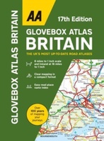 Wegenatlas AA Glovebox Atlas Britain | AA Publishing
This handy atlas fits in the glovebox of your car, perfect for quick referencing on the move. The clear mapping includes a range of essential motoring and useful touring information …
 Wegenatlas Philip's Easy to Read Road Atlas of Britain 2025 | A4-Formaat | Ringband | Philip's Maps
"The detail you need at a size you can read". The latest 2025 Philip's Easy to Read Road Atlas of Britain from the best-selling Road Atlas range has over 350 …
 Wegenkaart - landkaart Grossbritannien, Irland - Groot Britannie, Ierland | Hallwag
Prima kaart van heel Groot Brittannie en Ierland , dubbelzijdig bedrukt met plaatsnamen index. Road map Great Britain / Ireland Road map with transit plans, location index, tourist information and …
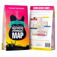 Wegenkaart - landkaart Great British Music Map | Strumpshaw, Tincleton & Giggleswick's Marvellous Maps
When it comes to music, Britain calls the tune on the world stage, playing second fiddle to nobody. This new and unique fold-out map celebrates Britain’s globe-straddling musical prowess, featuring …
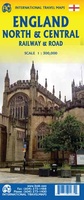 Spoorwegenkaart England North and Central Rail and Road | ITMB
This is a new title for ITMB, and continues our expanded coverage of the United Kingdom. Many publishers carry a map of Great Britain (or of the UK), and a …
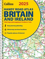 Wegenatlas 2025 Collins Handy Road Atlas Britain and Ireland | Collins
Handzame A5 wegenatlas van Engeland, Wales, Schotland en Ierland met register en stadsplattegronden This easy-to-use, handy A5 sized road atlas with popular lie-flat spiral binding features extremely clear route planning …
★★★★★
Laatste reviews

Heb de gids cadeau gedaan en die persoon was er heel blij mee ..
★★★★★ door J 21 november 2024 | Heeft dit artikel gekocht
De kaart van Kirgystan is prachtig, zeer gedetailleerd. Kan niet wachten tot de we echt op reis hmgaan die kant op.
★★★★★ door Marijke Eering 21 november 2024 | Heeft dit artikel gekocht
Super handig fiets boekje en mooi water bestendig. En handig om op de kaarten te kijken heel duidelijk beschrijving. Wij fietsen al jaren in Duitsland …
★★★★★ door Jenneke holterman 19 november 2024 | Heeft dit artikel gekocht
prima kaart levering en betaling allemaal vlot verlopen
★★★★★ door Marc Buts 19 november 2024 | Heeft dit artikel gekocht