North East England
 Fietsgids Hadrian's Cycleway | Cicerone
Hadrian's Cycleway is a 174 mile route from Ravenglass in Cumbria to South Shields. Also known as Route 72, this coast-to-coast route heads north up the Cumbrian coast to reach …
★★★★★ Wandelgids 087 Pathfinder Guides Northumberland | Ordnance Survey
Pathfinder® Guide to Northumberland, featuring 28 outstanding walks designed for a range of abilities covering 180 miles of walking. Features: 28 guided walks for a range of abilities …
 Wandelgids Park Rangers Favourite Walks Northumberland | Collins
The perfect companions for exploring the National Parks. Walking guide to the Northumberland National Park, with 20 best routes chosen by the park rangers. Each walk varies in length from …
 Wandelkaart Dales Way | Harvey Maps
Mooie, duidelijke kaart van de Dales Way in Noord-Engeland. Geplastificeerd met veel extra informatie en uitsnedes van de route. A leap forward in technical excellence: Tough, durable and 100% …
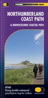 Wandelkaart Northumberland Coast Path and Berwickshire Coastal Path | Harvey Maps
Mooie, duidelijke kaart van de Northumberland Coast Path en het vervolg daarop de Berwickshire Coastal Path in Noord-Engeland en Schotland. Geplastificeerd met veel extra informatie en uitsnedes van de route. …
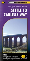 Wandelkaart Settle to Carlisle Way | Harvey Maps
Mooie, duidelijke kaart van de Settle to Carlisle Way in Noord-Engeland. Geplastificeerd met veel extra informatie en uitsnedes van de route. Settle Carlisle Way is a walking route linking the …
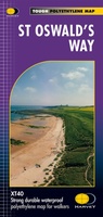 Wandelkaart St Oswald's Way | Harvey Maps
Mooie, duidelijke kaart van de St Oswald's Way Noord-Engeland. Geplastificeerd met veel extra informatie en uitsnedes van de route. From Holy Island to Heavenfield, the 97 mile St Oswald's …
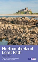 Wandelgids Northumberland Coast Path | Aurum Press
Goede beschrijving van de aantrekkelijke route. Kaartmateriaal van Ordnance Survey - de Engelse topografische dienst op een schaal van 1:25.000. Praktische info voor overnachten ed. niet altijd uitgebreid, maar die …
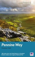
 Wandelgids Pennine Way | Trailblazer Guides
Trailblazer British Walking Guide to the Pennine Way, Britain's best-known National Trail that winds for 256 miles through three National Parks - the Peak District, Yorkshire Dales and Northumberland. This …
★★★★★ Reisverhaal De Muur van Hadrianus | Adrian Goldsworthy
In 'De Muur van Hadrianus' schrijft oudhistoricus Adrian Goldsworthy over de Romeinse limes in Groot-Brittannië. Keizer Hadrianus besloot in het jaar 122 tijdens een rondreis door het rijk dat de …
 Opruiming - Wandelgids Backpacker's Britain - northern England | Cicerone
A full-colour guidebook to walking 25 great backpacker's routes throughout northern England, exploring some of the best remote hill and mountain landscapes. Each route is ideally suited to a weekend …
★★★★★ Wandelgids England Nord - Engeland Noord | Rother Bergverlag
Uitstekende wandelgids met 60 dagtochten. Met praktische informatie en beperkt kaartmateriaal! Wandelingen in verschillende zwaarte weergegeven in rood/blauw/zwart. Deze wandelgidsen uitgever staat hoog aangeschreven en is een begrip onder de …
 Wandelgids Pennine Way | Aurum Press
Goede beschrijving van de aantrekkelijke route. Kaartmateriaal van Ordnance Survey - de Engelse topografische dienst op een schaal van 1:25.000. Praktische info voor overnachten ed. niet altijd uitgebreid, maar die …
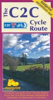 Fietskaart The C2C Cycle Route - Coast to Coast | Footprint maps
- Britains most popular loing distance route. - New clear mapping, based on OS data,ata a scale of 1:90 000 - Waterproof paper and compact size - Excellent value for …
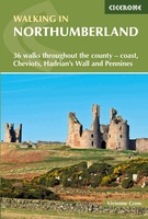 Wandelgids Walking in Northumberland | Cicerone
De wandelgidsen van Cicerone zijn toonaangevend als het gaat om kwaliteit en de hoeveelheid verschillende bestemmingen. De routes zijn helder en duidelijk beschreven, kaartmateriaal is veelal van de topografische dienst …
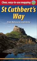 Wandelgids St. Cuthbert's Way | Rucksack Readers
Lange afstandswandelgids van de St. Cuthbert's Way wandeling. Wandelgids met kaarten en beschrijving. op waterbestendig papier, in spiraalbinding. Follow the footsteps of St Cuthbert in this easy-going walk of 63 …
 Reisgids Slow Travel Northumberland | Bradt Travel Guides
Een bijzondere serie van Bradt guides, waarin een gedeelte van Engeland of Schotland uitgebreid beschreven wordt. Met veel aandacht voor kleine details die je niet al gauw elders zult vinden. …
 Wandelkaart Adventure Atlas Hadrian's Wall Path | A-Z Map Company
AZ heeft de meest gedetailleerde wandelkaarten van het Hadrian's Wall Path gebundeld in een atlasje. Daardoor is het heel handig qua formaat. De kaarten zelf zijn perfect voor het wandelen. …
 Wandelgids Walking in the Yorkshire Dales: South and West | Cicerone
Veelzijdige wandelgids van een deel van de Yorkshire Dales, goede kaarten en beschrijvingen en veel keuze uit een behoorlijk aantal wandelingen. Part of a two-book set, this guidebook describes 44 …
 Wandelatlas The Dales Way Map Booklet | Cicerone
Heel handig bedacht van uitgever Cicerone: een boekje dat dienst doet als atlas met alle topografische kaarten die je nodig hebt voor het lopen van de Dales Way. Past goed …
Laatste reviews

De kaart van Kirgystan is prachtig, zeer gedetailleerd. Kan niet wachten tot de we echt op reis hmgaan die kant op.
★★★★★ door Marijke Eering 21 november 2024 | Heeft dit artikel gekocht
Super handig fiets boekje en mooi water bestendig. En handig om op de kaarten te kijken heel duidelijk beschrijving. Wij fietsen al jaren in Duitsland …
★★★★★ door Jenneke holterman 19 november 2024 | Heeft dit artikel gekocht
prima kaart levering en betaling allemaal vlot verlopen
★★★★★ door Marc Buts 19 november 2024 | Heeft dit artikel gekocht
Ik heb een uitklapbare kaart van Londen gekocht voor toeristische doeleinden. Snel geleverd en een product die volledig voldoet aan de behoeften. Chapeau!
★★★★★ door Cees Lindenberg 18 november 2024 | Heeft dit artikel gekocht