■ York
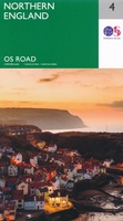 Wegenkaart - landkaart 4 OS Road Map Northern Engeland | Ordnance Survey
Een serie uitstekende wegenkaarten van Ordnance survey, de topografische dienst van Engeland. Alle 8 delen kennen een schaal van 1:250.000. Het kleurgebruik is uitbundig maar niet storend; integendeel, de hoogtes …
★★★★★★★★★★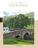 Campergids - Reisgids Met de camper door Yorkshire | Edicola
Yorkshire is een paradijs voor stoere wandelaars, natuurliefhebbers, honden, vogelaars, liefhebbers van ruïnes en van helemaal niet slaperige dorpjes en natuurlijk van Engelse pubs. Yorkshire heeft een spannende kust met …
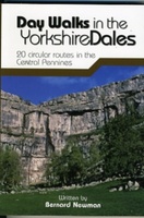 Wandelgids Day Walks in the Yorkshire Dales | Vertebrate Publishing
Day Walks in the Yorkshire Dales is the fourth title in Vertebrate Publishing's series of compact and portable hillwalking guidebooks. This book showcases 20 circular walks in the Yorkshire Dales …
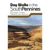 Wandelgids Day Walks in the South Pennines | Vertebrate Publishing
Day Walks in the South Pennines features 20 circular walks between 5 and 18 miles (8km and 29 km) in length, spread across West Yorkshire, Lancashire and Greater Manchester. Researched …
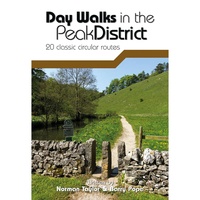 Wandelgids Day Walks in the Peak District | Vertebrate Publishing
Day Walks in the Peak District - 20 classic circular routes features 20 circular walks, between 8.25 and 12 miles (13 and 19.5 kilometres) in length, suitable for hillwalkers of …
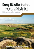 Wandelgids Day Walks in the Peak District | Vertebrate Publishing
Day Walks in the Peak District: 20 new circular routes features 20 circular walks, between 8 and 13 miles (14km and 21km) in length, suitable for hillwalkers of all abilities. …
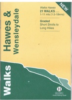 Wandelgids Hawes and Wensleydale | Hallewell Publications
Rewalked and updated in 2016, Walks Hawes & Wensleydale covers the Northern part of the Yorkshire Dales National Park - an area of rolling green hills, dramatic limestone features and …
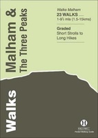 Wandelgids Malham and the Three Peaks | Hallewell Publications
Last rewalked and updated in 2021, Walks Malham & The Three Peaks covers part of The Yorkshire Dales National Park - an area of rolling green hills, dramatic limestone features …
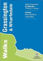 Wandelgids Grassington and Wharfedale | Hallewell Publications
The Yorkshire Dales National Park - an area of rolling green hills, dramatic limestone features and quaint villages - has five main dales (valleys). Walks Grassington & Wharfedale covers Wharfedale …
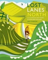 Fietsgids Lost Lanes North | Wild Things Publishing
Jack Thurston, best-selling author of the Lost Lanes series (50,000 sold) and presenter of the Bike Show, takes you on a freewheeling tour of the lost lanes and forgotten byways …
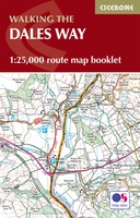 Wandelatlas The Dales Way Map Booklet | Cicerone
Heel handig bedacht van uitgever Cicerone: een boekje dat dienst doet als atlas met alle topografische kaarten die je nodig hebt voor het lopen van de Dales Way. Past goed …
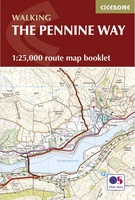 Wandelatlas Pennine Way Map Booklet | Cicerone
Heel handig bedacht van uitgever Cicerone: een boekje dat dienst doet als atlas met alle topografische kaarten die je nodig hebt voor het lopen van de Pennine Way. Past goed …
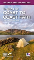 Wandelgids Trekking the Coast to Coast Path | Knife Edge Outdoor
The definitive two-way guide to the Coast to Coast Path: both eastbound and westbound routes are described in full. Real Maps: Full Ordnance Survey mapping inside (1:25,000). All accommodation is …
★★★★★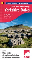 Wandelkaart Yorkshire Dales | Harvey Maps
A huge area on one map. Yorkshire Dales - the latest addition to the British Mountain Map series - is the sixth title in this highly successful & innovative range. …
 Fietskaart Dales Noord | Harvey Maps
Detailed map with off-road cycle routes. GPS compatible. Rights of Way. Large area on a compact sheet. Yorkshire Dales North covers Swaledale and Wensleydale, including Keld, Hawes, Aysgarth and Leyburn.
 Fietskaart Cycle Rides in the Yorkshire Dales | Harvey Maps
8 cycle rides in the Yorkshire Dales varying in length from 11 to 23 miles. Includes detailed maps plus written route directions. Information on local points of interest and …
 Fietskaart Yorkshire Dales Cycleway | Harvey Maps
The entire cycle route on one sheet. The route is circular, starting and ending in Skipton, with an alternative start/end in Ilkley. The cycle map includes a route profile. Steep …
 Fietskaart Yorkshire Dales Touring / Nidderdale Area of NB | Harvey Maps
This map provides a colourful overview of the Dales - famous Swaledale, Wensleydale, Wharfedale & Nidderdale. Colour shading makes it easy to pick out the hills & dales. Driveable roads …
 Fietskaart Yorkshire Dales for Cyclists | Harvey Maps
The area covered by this new 100% waterproof map provides fabulous opportunities from gentle routes in the valleys to some challenging climbs over the moorland that separates them. It is …
 Wandelkaart Yorkshire Wolds Way | Harvey Maps
The Yorkshire Wolds Way is a 79 mile (127 km) walking route in the chalk landscape of the Yorkshire Wolds. The National Trail wends through some of the most tranquil …
Laatste reviews

Mooie landkaart en snel bezorgd
★★★★★ door Rene van Paasen 16 december 2024 | Heeft dit artikel gekocht
Als er één ding is waardoor de Blue Guides bekendheid genieten, dan is het wel de vele aandacht voor cultuur. Zo ook deze. Ik krijg …
★★★★★ door Christine Grit 13 december 2024 | Heeft dit artikel gekocht
De coördinaten op de kaart zijn onbruikbaar. Je kan deze niet gebruiken met een kaarthoekmeter. Er is geen getekende grid voor de coördinaten. Kaart is …
★★★★★ door Robin 13 december 2024 | Heeft dit artikel gekocht
De coördinaten op de kaart zijn onbruikbaar. Je kan deze niet gebruiken met een kaarthoekmeter. Er is geen getekende grid voor de coördinaten. Kaart is …
★★★★★ door Robin 13 december 2024 | Heeft dit artikel gekocht

