Hebriden
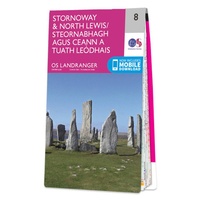 Wandelkaart - Topografische kaart 008 Landranger Stornoway & North Lewis | Ordnance Survey
Zeer goede detailkaart met topografische ondergrond. Kleurgebruik is goed over nagedacht: bijzonder goed leesbaar en helder kaartbeeld. Hierop zijn toeristische symbolen van bezienswaardigheden ingetekend, daarnaast staan bijvoorbeeld campings en jeugdherbergen …
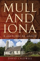 Reisgids Mull and Iona - a historical guide | Birlinn
Mull and Iona are two of the most visited islands in Scotland, and have played a central role in the history of the country. As the cradle of Christianity in …
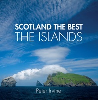 Reisgids Scotland the Best the Islands | Collins
See Scotland's remarkable islands from a new perspective in this beautiful guide curated by celebrated Scotland the Best author, Peter Irvine. Featuring images from acclaimed Scottish and international photographers accompanied …
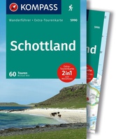 Wandelgids 5990 Wanderführer Schottland - an den Küsten und in den Highlands - Schotland | Kompass
Goede Duitstalige wandelgids met heldere beschrijvingen van de wandeltochten. Met hoogteprofiel, kaartje en de benodigde praktische informatie als bijvoorbeeld de startlocatie met GPS coordinaten. De wandelingen zijn ingedeeld in zwaarte …
 Reisgids Outer Hebrides Guide Book | Charles Tait
The Outer Hebrides Guide Book provides a thoroughly informative insight into unique life on the Scottish islands. Learn in fine photographic and written detail about the active traditional crafts, ancient …
 Wandelgids Isle of Mull | Cicerone
Uitstekende wandelgids voor dit uitdagende wandelgebied in Schotland. Met goede topografische deelkaarten. Guidebook describing over 40 walking routes on Scotland's beautiful Isle of Mull, as well as neighbouring Ulva, Gometra, …
 Wandelgids Harris and Lewis – Outer Hebrides, Hebriden Schotland | Cicerone
Uitstekende wandelgids van dit geweldige gebied. goed beschreven met veel praktische informatie om de route te kunnen lopen, inclusief goede kaarten. This guidebook describes 30 day walks all over the …
★★★★★ Wandelkaart Rum, Eigg, Canna, Muck | Harvey Maps
More than "just" a map, this map is an essential piece of equipment, this new generation of HARVEY Superwalkers is designed to be the most practical tool for navigation outdoors. …
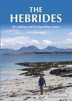 Wandelgids The Hebrides - De Hebriden Schotland | Cicerone
This inspirational guide offers 50 varied hiking and backpacking routes on the Scottish Hebrides islands, set out in a large guidebook to be savoured. The hikes highlight all the very …
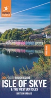 Reisgids Rough Guide Pocket Isle of Skye - the Western Isles | Rough Guides
Een kleinere versie in zakformaat van de grotere versies van de Rough Guides. Als altijd weer vol met goede informatie over cultuur en praktische zaken. Discover the best of Skye …
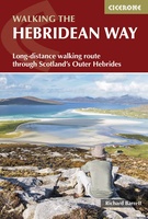 Wandelgids The Hebridean Way | Cicerone
Uitstekende wandelgids van de Hebridean Way, waarbij naast alle noodzakelijke informatie ook gebruik gemaakt wordt van de echte topografische kaart. Officially launched in 2017, the Hebridean Way offers walkers the …
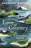 Reisverhaal Love of Country - A Hebridean Journey | Madeleine Bunting
An extraordinary journey deep into the history and landscape of the Hebrides, exploring the islands' turbulent history, the spread of their influence, and how they shaped the nations of BritainThe …
 Reisgids - Reisverhaal The Hebrides | Paul Murton
Reisgids - reisverhaal over de Hebriden Paul Murton has spent half-a lifetime exploring some of the most beautiful islands in the world – the Hebrides. He has travelled the …
 Reisgids Outer Hebrides - Hebriden - Schotland | Bradt Travel Guides
Voor vele landen en streken net zo goed, zo niet beter dan de Planet. soberder uitgevoerd, maar ook met veel informatie voor backpackers en met veel kaartmateriaal. Een aanrader! Voor …
★★★★★ Fotoboek Hebrides - Hebriden | Quercus Publishing
Fantastisch fotoboek over de Hebriden, met name over Harris en Lewis, de buiten Hebriden. Prachtige foto's, goede teksten en mooi uitgevoerd in een hardcover uitvoering. THE PERFECT COMPANION TO PETER …
★★★★★ Wandelgids Mull and Iona | Pocket Mountains
Handige compacte wandelgids met 40 dagwandelingen. Deze gids bevat kleine kaartjes en leuke uitgebreide informatie over wat er langs de route te zien is. Goede wandelkaarten zijn echter we noodzakelijk …
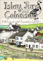 Wandelgids Islay, Jura and Colonsay | Pocket Mountains
Handige compacte wandelgids met 40 dagwandelingen. Deze gids bevat kleine kaartjes en leuke uitgebreide informatie over wat er langs de route te zien is. Goede wandelkaarten zijn echter wel aan …
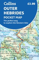 Wegenkaart - landkaart Pocket Map Outer Hebrides | Collins
Explore new places with handy pocket maps from Collins. Handy little full-colour map of the Western Isles of Scotland. Detailed mapping and tourist information for the islands of Lewis, Harris, …
★★★★★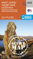 Wandelkaart - Topografische kaart 458 OS Explorer Map | Active West Lewis / Taobh Siar Leòdhais | Ordnance Survey
Met zijn 4cm voor 1 km (2 ½ cm voor 1 mijl) schaal, is de OS Explorer kaartenserie de ideale en meest gedetailleerde kaartenreeks voor mensen die graag outdoor-activiteiten zoals …
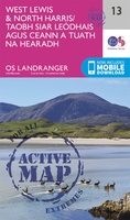 Wandelkaart - Topografische kaart 13 Landranger Active West Lewis / North Harris | Ordnance Survey
Zeer goede detailkaart met topografische ondergrond. Kleurgebruik is goed over nagedacht: bijzonder goed leesbaar en helder kaartbeeld. Hierop zijn toeristische symbolen van bezienswaardigheden ingetekend, daarnaast staan bijvoorbeeld campings en jeugdherbergen …
Laatste reviews

Kan de huidige ontstuimige ontwikkelingen wereldwijd, nu ook geografisch plaatsen en daarmee beter volgen.
★★★★★ door Leo Janssen 20 december 2024 | Heeft dit artikel gekocht
We hadden Piëmonte al eens bezocht en voor onze komende reis werd ons door kennissen deze gids aanbevolen. Inderdaad is dit een heel goede gids. …
★★★★★ door DWKdB 19 december 2024 | Heeft dit artikel gekocht
Mijn bestellingen zijn altijd goed en worden altijd op tijd geleverd. Komen afspraken goed na. Erg tevreden.
★★★★★ door Ben Wegdam 19 december 2024 | Heeft dit artikel gekocht
Zeer gedetailleerde kaart van het zuidelijke deel van het douaniers pad
★★★★★ door Marian 18 december 2024 | Heeft dit artikel gekocht