Schotse Hooglanden & Speyside
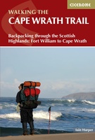 Wandelgids The Cape Wrath Trail | Cicerone
Uitstekende wandelgids die in etappes de route nauwkeurig beschijft. A guidebook to the Cape Wrath Trail, a long-distance trek through the Scottish Highlands from Fort William to Cape Wrath. The …
★★★★★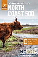 Reisgids The North Coast 500 | Rough Guides
This practical travel guide to the North Coast 500 features detailed factual travel tips and points-of-interest structured lists of all iconic must-see sights as well as some off-the-beaten-track treasures. Our …
★★★★★ Spoorwegenkaart - Wegenkaart - landkaart Scotland Far North & Islands Railway & Road | ITMB
Great Britain, by its shape, is difficult to map. The population is dense, the road network intense, and the coastline convoluted. A map of the British Isles shows only the …
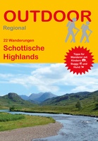 Wandelgids Schottische Highlands - 22 Wanderungen | Conrad Stein Verlag
Compacte Duitstalige wandelgids in zakformaat. Deze gids bevat kaartjes met de wandelingen erop ingetekend, hoogteprofielen, grafieken, beschrijving van de route en beknopte beschrijving van bezienswaardigheden en foto's. De wandelingen variëren …
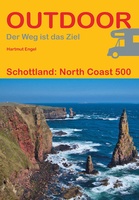 Campergids Schottland: North Coast 500 | Conrad Stein Verlag
Die North Coast 500 (NC 500) gilt als eine der schönsten Küstenstraßen weltweit. In kürzester Zeit entwickelte sich die noch neue Route durch den Norden Schottlands zu einer der beliebtesten …
 Wandelkaart Great Glen Way | Harvey Maps
Mooie, duidelijke kaart van de Great Glen Way in Schotland. Geplastificeerd met veel extra informatie en uitsnedes van de route. Leap forward in technical excellence. Tough, light and 100% …
★★★★★ Wandelkaart South Loch Ness Trail | Harvey Maps
Mooie, duidelijke kaart van de South Loch Ness Trail in Schotland. Geplastificeerd met veel extra informatie en uitsnedes van de route. This map has been produced in association with …
★★★★★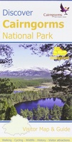 Wandelkaart Discover Cairngorms National Park | Footprint maps
Since it was created in 2003 the Cairngorms National Park has provided the ultimate destination for visitors in the UK wanting to experience a unique mixture of wilderness and cultural …
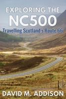 Reisgids Exploring the Nc500 | Extremis Publishing Limited
Travelling anti-clockwise, David M. Addison seeks his kicks on Scotland's equivalent of Route 66. Otherwise known as NC500, the route takes you through five hundred miles of some of Scotland's …
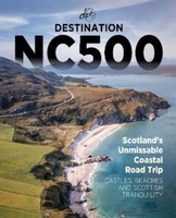 Reisgids Destination NC500 | Destination Earth
Presenting the most in-depth, relatable, and picturesque guidebook to the North Coast 500 on the market, this is Destination NC500. Plan your trip to the northern coast of Scotland …
★★★★★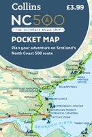 Wegenkaart - landkaart Pocket Map NC500 | Collins
Handy little full colour map of the popular North Coast 500 route. A perfect guide for travelling around Northern Scotland. Detailed mapping and tourist information ideal for any road trip. …
★★★★★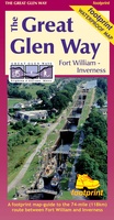 Wandelkaart The Great Glen Way | Footprint maps
The complete map/guide of both routes between Fort William and Inverness. Also contains compact and concise practical information for walkers. For every copy of this map sold, a …
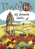 Wandelgids The Ochils | Pocket Mountains
Handige compacte wandelgids met 40 dagwandelingen. Deze gids bevat kleine kaartjes en leuke uitgebreide informatie over wat er langs de route te zien is. Goede wandelkaarten zijn echter we noodzakelijk …
 Wandelkaart Jura - Schotland | Harvey Maps
Shows the Paps of Jura and includes 1 Corbett and 2 Grahams. This detailed map for hillwalkers shows the whole of the Isle of Jura at the popular 1:25,000 …
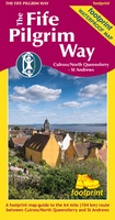 Wandelkaart The Fife Pilgrim Way | Footprint maps
A handy, waterproof map breaking down the Fife Pilgrim Way into seven sections. The Fife Pilgrim Way runs between North Queensferry or Culross and St Andrews. It is designed as …
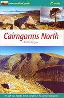 Wandelgids Cairngorms North | Mica Publishing
A detailed and superbly illustrated guidebook to walking the high tops, foothills, forests and glens of the Northern Cairngorms, one of Scotland's most popular mountain ranges, easily accessed from the …
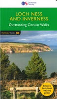 Wandelgids 030 Pathfinder Guides Loch Ness and Inverness | Ordnance Survey
Explore 28 beautiful walks across Loch Ness & Inverness with the OS Pathfinder Guidebooks, graded by length and ranging from 2 to 16 miles. The routes range from extended …
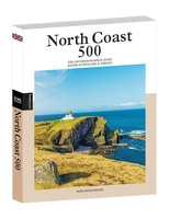 Reisgids PassePartout North Coast 500 | Edicola
Met het lanceren van de North Coast 500 in 2015 werd in één keer Noord-Schotland op de kaart gezet. De ruim 800 km lange route, die start en eindigt in …
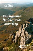 Wegenkaart - landkaart National Park Pocket Map Cairngorms | Collins
Handige kleine kaart van dit Nationaal Park. De kaart geeft een goed en helder overzicht van het gebied met alle plaatsen, doorgaande wandelpaden (alhoewel grof van schaal), bezienswaardigheden etc. Met …
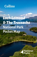 Wegenkaart - landkaart National Park Pocket Map Loch Lomond and the Trossachs | Collins
Handige kleine kaart van dit Nationaal Park. De kaart geeft een goed en helder overzicht van het gebied met alle plaatsen, doorgaande wandelpaden (alhoewel grof van schaal), bezienswaardigheden etc. Met …
Laatste reviews

Aan twee kanten bedrukt met hetzelfde gebied, de ene kant gaf wandelingen weer, de andere kant mountainbikeroutes. Ruim een week vóór de wandelvakantie gekocht, een …
★★★★★ door elly stolwijk 04 december 2024 | Heeft dit artikel gekocht
Deze kaarten gebruik ik om mooie wandelingen uit te zetten, die ik dan met mijn liefste meisje beloop. Dank u wel voor de snelle adequate …
★★★★★ door Jacques Marks 03 december 2024 | Heeft dit artikel gekocht
Ook ik ben een zwerver, maar gelukkig niet dakloos. Deze kaarten gebruik ik om mooie wandelingen uit te zetten, die ik dan met mijn liefste …
★★★★★ door Jacques Marks 03 december 2024 | Heeft dit artikel gekocht
Perfect👍
★★★★★ door Wilma & Mari 03 december 2024 | Heeft dit artikel gekocht

