Wandelgidsen - Lowlands | Schotse Laaglanden en grenzen
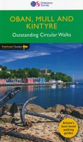 Wandelgids 31 Pathfinder Guides Oban, Mull & Kintyre | Ordnance Survey
Wandelgids van een deel van Schotland. Deze gids bevat 28 dagwandelingen, variërend van korte tochten tot pittige dagtochten. De bijbehorende kaarten zijn uitstekend: men heeft de topografische kaarten van Ordnance …
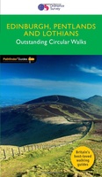 Wandelgids 47 Pathfinder Guides Edinburgh, Pentlands & the Lothians | Ordnance Survey
Wandelgids van een deel van Engeland, Schotland of Wales. Deze gids bevat 28 dagwandelingen, variërend van korte tochten tot pittige dagtochten. De bijbehorende kaarten zijn uitstekend: men heeft de topografische …
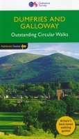 Wandelgids 19 Pathfinder Guides Dumfries & Galloway | Ordnance Survey
Wandelgids van het zuidwestenl van Schotland. Deze gids bevat 28 dagwandelingen, variërend van korte tochten tot pittige dagtochten. De bijbehorende kaarten zijn uitstekend: men heeft de topografische kaarten van Ordnance …
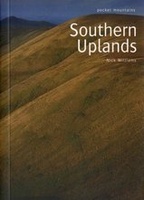 Wandelgids Southern Uplands | Pocket Mountains
Mooi uitgevoerde wandelgids in een handzaam formaat: 15 x 10 cm. De wandelingen zijn duidelijk beschreven, soms een beetje summier. This Pocket Mountains guide to the Southern Uplands of Scotland …
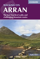 Wandelgids Walking on Arran | Cicerone
Uitstekende wandelgids voor dit uitdagende wandelgebied in Schotland. Dagtochten. The 45 walking routes in this Isle of Arran guidebook range from easy 3km (2 miles) nature trails to long arduous …
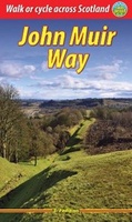 Wandelgids John Muir Way | Rucksack Readers
The John Muir Way runs for 134 miles (215 km) coast-to-coast across central Scotland, from Helensburgh on the Clyde to Dunbar on the North Sea. The route is as suitable …
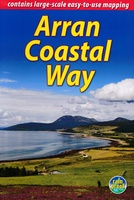 Wandelgids The Arran Coastal Way | Rucksack Readers
The Arran Coastal Way is perhaps Scotland's finest circular long-distance trail, running 65 miles (105 km) around the Isle of Arran in a memorable week-long hike from Brodick. It's accessible …
★★★★★★★★★★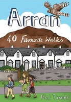 Wandelgids Arran | Pocket Mountains
Handige compacte wandelgids met 40 dagwandelingen. Deze gids bevat kleine kaartjes en leuke uitgebreide informatie over wat er langs de route te zien is. Goede wandelkaarten zijn echter wel aan …
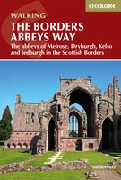 Wandelgids The Borders Abbeys Ways | Cicerone
Uitstekende wandelgids van de Borders Abbeys Way, waarbij naast alle noodzakelijke informatie ook gebruik gemaakt wordt van de echte topografische kaart. Guidebook to the Borders Abbeys Way, a 68 mile …
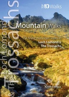 Wandelgids Mountain Walks in Loch Lomond and the Trossachs | Northern Eye Books
One of four books in the popular Loch Lomond and The Trossachs: Top 10 Walks series. Handy, pocket-sized, full colour walking guides written by experts. The perfect impulse buy. The …
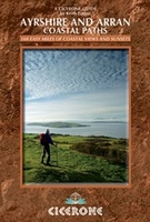 Wandelgids Ayrshire and Arran Coastal Paths | Cicerone
A guide to walking or backpacking along the Ayrshire and Arran Coastal Paths, which stretch for over 150 miles along the stunning west coast of Scotland, within easy reach of …
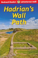 Wandelgids Hadrian's Wall path | Rucksack Readers
Uitgevoerd in de vorm van een klapper, met ringband geeft deze gids een goede beschrijving van de lange afstands route. De kaarten zijn schetsmatig maar wel duidelijk. Hadrian's Wall …
★★★★★ Wandelgids Walking the Galloway Hills | Cicerone
Uitstekende wandelgids van galloway! This guide covers 35 day walks and one long-distance route in the wild and remote hills of Galloway. Although there are some shorter and easier …
 Wandelgids The Southern Upland Way | Cicerone
Uitstekende wandelgids van de Southern Upland Way, waarbij naast alle noodzakelijke informatie ook gebruik gemaakt wordt van de echte topografische kaart. The Southern Upland Way is Scotland's coast-to-coast walk …
 Wandelgids 15 Short Walks Dumfries and Galloway | Cicerone
Ronald Turnbull has chosen 15 of the best short walks around Dumfries and Galloway for you to explore. Our guide comes with easy-to-read Ordnance Survey maps and clear route descriptions, …
 Wandelgids Perth, Dunkeld & Blairgowrie | Hallewell Publications
Walks Perth, Dunkeld & Blairgowrie (previously published as Walks East Perthshire) has been completely rewalked and revised. The guide covers the eastern part of the county of Perthshire, with a …
 Wandelgids Angus | Hallewell Publications
This guide covers the old county of Angus: from the cliffs and beaches of the coast, through the wide farmland of Strathmore to the fine hill paths of the Angus …
 Wandelgids Islay, Jura & Colonsay | Hallewell Publications
Walks Islay, Jura & Colonsay features walks on the three inner Hebridean islands. Each island has it's own distinct character and the 26 walks featured give a good feel for …
 Wandelgids Inveraray & South Argyll : Including Kintyre | Hallewell Publications
Rewalked and updated in 2022, 'Walks Inveraray & South Argyll including Kintyre' covers the stretch of Scotland's west coast from Ardfern in the north to the Mull of Kintyre in …
 Wandelgids Crieff, Comrie & Kinross | Hallewell Publications
Walks Crieff, Comrie & Kinross includes walks in the south Perthshire hills, around Loch Earn and Loch Tay, and the Ochils, as well as the path network around Crieff. The …
Laatste reviews

Duidelijke kaart, ook met kleinere wegen. Snelle levering
★★★★★ door Ger Sulkers 02 mei 2024 | Heeft dit artikel gekocht
Ja wij zijn tevreden, alleen is mijn vriendin het boekje al kwijtgeraakt bij onze eerste wandeling.🙁
★★★★★ door Mark 02 mei 2024 | Heeft dit artikel gekocht
Ja ik ben dik tevreden over de wegenkaart van Kazachstan. Stond alles op wat ik wou dus heel erg tevreden daarover.
★★★★★ door Sjoerd Westra 02 mei 2024 | Heeft dit artikel gekocht
Zoals altijd mooie verzorgde kaarten die tijdens de reis van pas komen en achteraf mooie herinneringen oproepen.
★★★★★ door Klaas Wijnberg 02 mei 2024 | Heeft dit artikel gekocht