Topografische kaarten - Badajoz (Provincie)
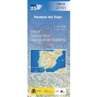 Topografische kaart 780-III Pantano del Zújar | CNIG - Instituto Geográfico Nacional1
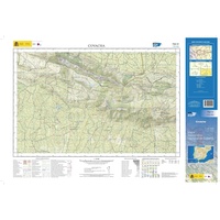 Topografische kaart 702-IV Covacha | CNIG - Instituto Geográfico Nacional1
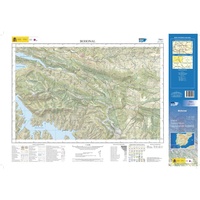 Topografische kaart 734-I Bohonal | CNIG - Instituto Geográfico Nacional1
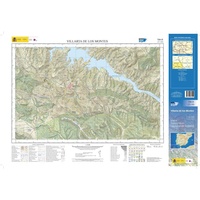 Topografische kaart 734-III Villarta de los Montes | CNIG - Instituto Geográfico Nacional1
 Topografische kaart 755-II Casas de Don Pedro | CNIG - Instituto Geográfico Nacional1
 Topografische kaart 755-III Orellana de la Sierra | CNIG - Instituto Geográfico Nacional1
 Topografische kaart 755-IV Talarrubias | CNIG - Instituto Geográfico Nacional1
 Topografische kaart 727-IV Alburquerque | CNIG - Instituto Geográfico Nacional1
 Topografische kaart 729-IV Alcuéscar | CNIG - Instituto Geográfico Nacional1
 Topografische kaart 702-I Casillas | CNIG - Instituto Geográfico Nacional1
 Topografische kaart 702-III San Vicente de Alcántara | CNIG - Instituto Geográfico Nacional1
 Topografische kaart 727-I Mayorga | CNIG - Instituto Geográfico Nacional1
 Topografische kaart 727-II Dehesa de Piedrabuena | CNIG - Instituto Geográfico Nacional1
Laatste reviews

Klein en handig compact boekje, perfect om mee te nemen voor op vakantie!!!👍🏼
★★★★★ door Mathias 11 december 2024 | Heeft dit artikel gekocht
Duidelijk, makkelijk in gebruik en mijn man (het was een kadootje voor hem)stippelt allerlei interessante tochtjes uit met jullie fijne kaarten!
★★★★★ door Joke Erkens 10 december 2024 | Heeft dit artikel gekocht
Met het arriveren van deze prachtige en overzichtelijke wegenkaart is de voorpret van het plannen van de vakantie begonnen. Ik vind het heerlijk om gebogen …
★★★★★ door Carl 10 december 2024 | Heeft dit artikel gekocht
prima kaart - goede schaal om op te lopen - veel toeristische info
★★★★★ door herman de swart 09 december 2024 | Heeft dit artikel gekocht

